Crosscut selected as a Digital Public Good

The Digital Public Goods Alliance defines a Digital Public Good to be "open-source software, open standards, open data, open AI systems, and open content collections that adhere to privacy and other applicable laws and best practices, do no harm, and help attain the Sustainable Development Goals (SDGs)".
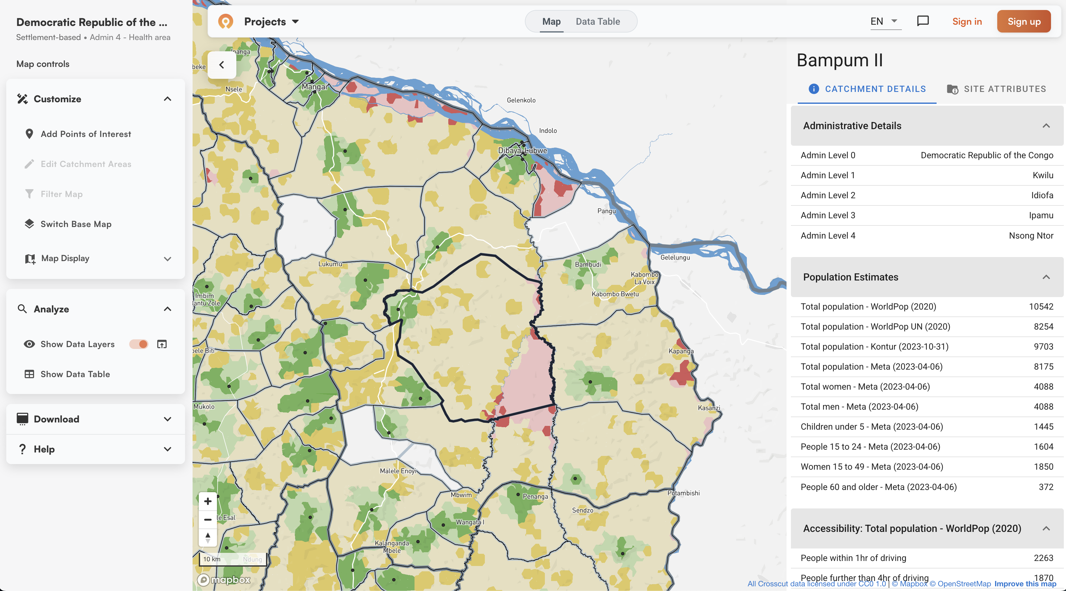
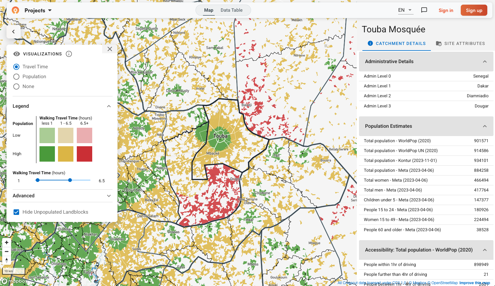
We are proud to announce that in January 2024, our catchment area maps were selected as a Digital Public Good in the 'Open Data' category. Our maps are available here under a CC0 1.0 license, which gives users absolute freedom to use their catchment area maps as they would like. A catchment area refers to the geographic area serviced by a site, such as a hospital, school, or store. Users typically load their own sites into Crosscut to generate such maps. As part of this open-data initiative, we have gone ahead and made "settlement-based" catchment area maps for several countries, and we plan to continually release such datasets over the course of 2024. Global health practitioners use these maps and their corresponding metadata to help carry out health campaigns, such as for planning immunization outreach, distributing malaria bed nets, or informing where to position community health workers.

Check out this example. The map shows the centroid for all settlements in The Gambia and their corresponding catchment areas. This settlement centroid becomes the 'site' that is used to create the catchment areas. The Crosscut App carries out millions of calculations to generate such maps, assigning each parcel of the country to its nearest settlement centroid. It factors in the presence of roads, rivers, hills, and land cover to generate highly accurate representations of which dwellings are associated with which settlement centroids. Once catchment areas are created, the App generates all corresponding metadata so that users can estimate target populations and buildings for that specific catchment area.
All data is available for download as a CSV, GeoJSON, or KML file so that you can use your catchment areas in other applications and to support Global Health programming. You can read more of the fine print here.
What do you think? We would love to hear your thoughts and always happy to answer any questions you may have. Feel free to contact us or better yet, try it out today!
Related Posts

Building health catchments from geocoded data in Liberia

What is a catchment area? A GIS guide for non-technical teams


