23 countries and counting...

When we first started working on our tech in 2021, I set the ambitious goal that we would have every country in Sub-Saharan Africa loaded in six months. 3 years later, we're not quite there yet :) Although we didn't hit that goal, I am very thankful for the learnings we've had so far during our team's journey working on the Crosscut geospatial planning app. Maybe I can share some of those thoughts in a future blog post.
We are now in February 2024, and I think we may actually have a shot to realize that initial vision of loading every country in Sub-Saharan Africa. We currently have 23 full countries loaded, 12 partially loaded, and we have set the ambitious goal of having 60 full countries loaded and available by the end of the year. We want to more than double the number of countries that we serve this year. We are maintaining a live tracking map to keep us accountable to this goal. Check out which countries are available and let me know your thoughts.
With all this talk of adding countries, you may be asking yourself:
> What is the big deal about loading countries?
> What does it even mean to "load a country"?
> Why don't you just go ahead and add the rest of them?
> What are you waiting for?!
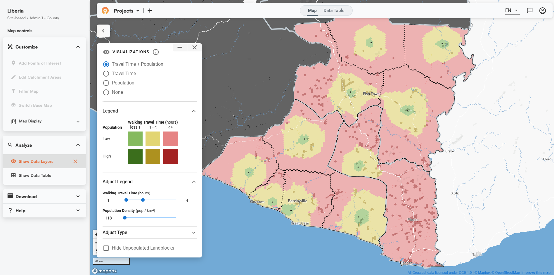
Our early problems mostly related to engineering, and we've mostly solved those. The primary thing that keeps us from just getting this done now is cost. The reason that people can use our app to create catchment area maps in a few seconds or minutes is because we do enormous amounts of pre-processing involving millions of geospatial calculations. When a user goes to create catchment areas, all of that geospatial computation is mostly done. We do these pre-processing computations in the cloud, and there is a cost for this cloud computing as well as a cost for our engineering team to make it happen. We have these pre-processing steps pretty well automated in an effort to minimize our engineering team's time to do this, but we think there's more here that we could optimize.
However, there is a bright side: once we load a country, the marginal cost of running a catchment area map for that country is extremely low, which is how we are able to make our base application available to users for free. Although I don't have firm numbers, I think our overall cost structure (pre-processing plus ongoing maintenance) are likely orders of magnitude lower than other analytical approaches that aim to accomplish the same thing. We are proud of the low cost of keeping our technology up, and we think that this is the type of innovation that comes when you have to figure out solutions with too little money rather than too much money.
We cover the costs of refreshing the data for a country through some modest funding provided by our partners. We also cover those costs out of our own pocket in a belief that more great things are possible as we get our app into the hands of more and more users.
Interested in helping us reach our goal of 60 countries by the end of the year? See any countries that we missing from our list? Feel free to contact us today and let's chat!
Related Posts

Loamin x Crosscut: Modernizing Malaria Prevention with Geospatial Maps

How AI Is Impacting Our Work


.JPG)
