
Our tech integrates with dhis2 :)

“Our tech integrates with dhis2” is a catch phrase that has become a bit of a joke in the digital health community because it is something literally every stakeholder asks for and something that every technology provider says they can do. The reality of what integrates with dhis2 means, however, can be wide-ranging. While many providers claim to integrate with dhis2, Crosscut maintains a proven, existing, active integration. Our Microplanning app is available directly in the dhis2 app hub, and we are currently maintaining a live application that can support over 30 countries. We have active users accessing our app via dhis2, and we get new dhis2 users reaching out to us on a monthly basis asking us to add their country.

What is dhis2? OK, either you’ve heard of dhis2 or you don’t work in the field of Global Health. If you clicked on this post, you probably know what it is. dhis2—which stands for district health information system—is the dominant software platform in use to manage national health systems. Amazingly, dhis2 is in use in 123 countries across the globe. Given that there are only 195 total countries in the world, this an incredible achievement that is fairly uncommon, especially in the realm of donor-funded technology. Given how broadly this platform has been adopted by countries, it has proven to be a great opportunity for Crosscut to incorporate some of our niche analytical services into a platform that has such a broad base of users. This type of integration can reduce organizational friction and bypass implementation complexities that can often arise with the introduction of new technology.
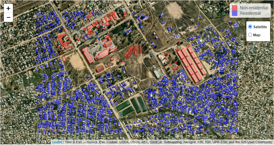
How did the Crosscut / dhis2 collaboration come about? In 2022, we were monitoring a dhis2 Jira issue related to catchment area mapping for dhis2 sites—trust me, I realize how in the weeds this is 😊. I noticed that someone at dhis2 started to work the catchment area issue, so I reached out to them and checked to see what they are up to and to see if we might collaborate. This meeting with Bjorn Sandvik and Scott Russpatrick of the dhis2 team turned into a fruitful, ongoing collaboration: as they worked to enable dhis2 to store catchment area maps, we stood up the Crosscut App as a dhis2 app in the dhis2 app hub so that users could create catchment area maps for their dhis2 sites. This collaboration ultimately led to a signed memorandum of understanding with the dhis2 HISP Center at the University of Oslo for Crosscut to provide complementary geospatial and analytics enhancements to dhis2.
How was the project funded? The dhis2 app we built was entirely self-funded, which we chose to do because we believe this type of integration is important for the Crosscut App to realize broader adoption.
How is the app being received? As recognition for our efforts, I am proud to say that our app was ultimately selected as a Finalist for DHIS2 App-of-the-Year in 2022. The Crosscut app is now part of the training curriculum carried out by the dhis2 core team as part of their Maps Academy. In 2023, more than 50 persons across numerous Sub-Saharan African countries were trained on Crosscut's geospatial map application.

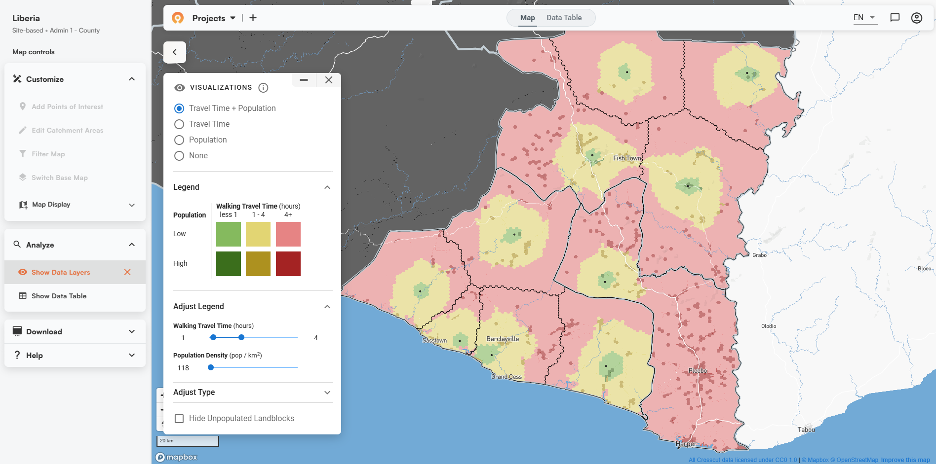
What are we working on now?(TLDR) For the newest release of dhis2 v41 in May 2024, dhis2 Maps will have the ability to display catchment area maps created using the Crosscut App along with an interactive data table filled with Crosscut-provided metadata.
What are we working on now?(Extended Version) Over the last couple of months, we worked with the dhis2team to enable catchment area properties to be displayed in a data table in thedhis2 Maps App. The initial version of the dhis2 Crosscut App allowed users to create catchment areas and display the geometries of those catchment areas in their Map in dhis2, but without any of the properties associated with the geometries (such as population and building counts). The dhis2 team wanted the ability to display the properties and geometry for a given set of catchments without having to store all of the properties in the dhis2 application. The Crosscut team developed two endpoints to enable this functionality: a Read-Only Token endpoint, and a formatted geojson endpoint. The Read-Only Token endpoint enables a dhis2 administrator to create a token that can be then used to retrieve catchment geometries and their associated properties without requiringdhis2 users to login to the Crosscut app. The formatted geojson endpoint enables the properties associated with a geojson (such as the population and building count) to be returned in a human-readable format. These two endpoints together are used as part of a dhis2 API Route (see here for an example of a Route in dhis2). In the upcoming dhis2 v41 Release in May2024, the Maps Application will have the functionality to display the geometries of a catchment geojson along with an interactive data table that includes the formatted properties.
Where do we go from here? Our plan for this year is to let users determine which areas to focus when determining how to further enhance the app. There are several things we want todo including enhanced supply chain functionality, but right now we are mainly seeking funding partners to expand our application across more countries. If you know of anyone who would be interested in seeing this come about, please let me know!
Related Posts
Loamin x Crosscut: Modernizing Malaria Prevention with Geospatial Maps


How AI Is Impacting Our Work
.JPG)
Microplanning for Malaria Control
